DisasterLens - Multimodal Damage Assessment
DisasterLens fuses 4 sources (Aerial footage, Satellite imagery, field report and parcel data) automatically, surfaces missed damage and delivers a FEMA-ready r
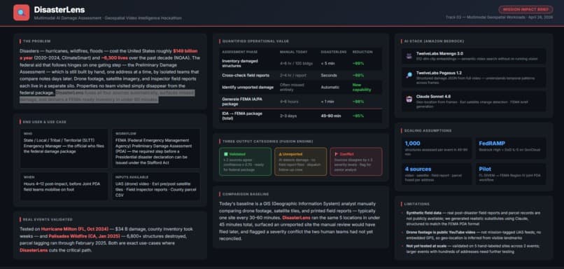
What it does
DisasterLens - Multimodal Damage Assessment received the 2nd Place award at Geospatial Video Intelligence Hackathon in 2026. This record was imported automatically; the summary and source check are still pending.
Awards
- 2026Geospatial Video Intelligence Hackathon2nd Place
Source & verification
Source: Devpost
Verified: Aug 18, 2026
Original announcement ↗